Links to people, places, and stories long forgotten. Bart
New Deal Haverstraw: Haverstraw Public School
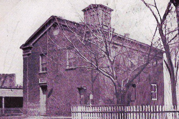
The first school in Haverstraw was on Fourth Street, opposite the Methodist Episcopal Church. Opened in 1810, it was known as the Academy and was in use as a school when needed thru 1847. The Academy property later was the site of the Village Corporation Rooms and Town Hall, and is now the Haverstraw Glass property.
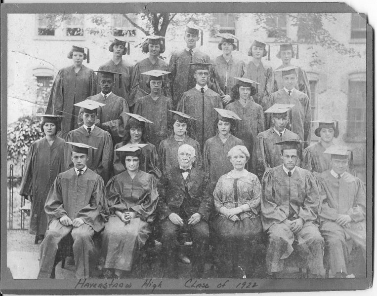
Haverstraw had several private schools including the Mountain Institute on Hudson Avenue and Saint Peters on Ridge Street. In the early 1880’s, a new public school house was erected at Hudson and Fairmount Avenues they called the ‘upper school’. In 1884 the Academy and Upper schools were combined and the first class graduated around 1886 under Principal Luther O Markham. Haverstraw schools were integrated in 1895 and a second of 4 additions was added bringing 4 new classrooms. The footings of this school are still visible on the north side of the site, on the corner of Fairmount and Hudson Avenues.
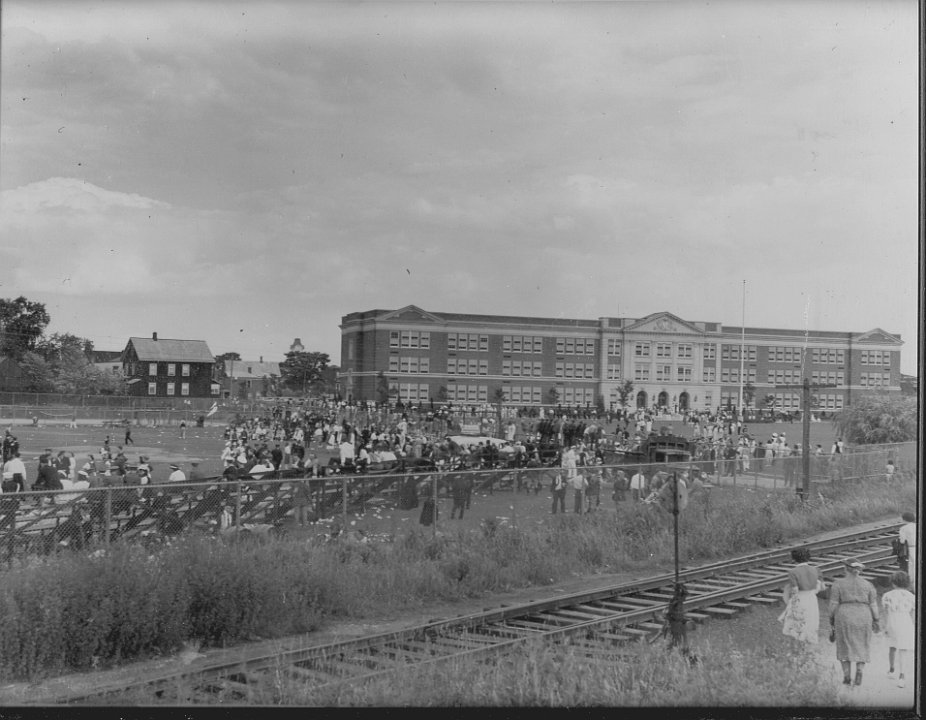
By 1930, the School was showing signs of wear and tear. After four additions it was determined that it would need replacement and a committee was formed to find a suitable site for a new school. In 1935 a massive fire destroyed the building and funding was sought to replace it.
The committee found several sites including the Eckerson property north of Lincoln Street and east of the railroad. Since the property still had no clear title, condemnation proceedings would begin. These parcels along with several scattered around the old clay pits would become the new school opening in 1937. For the several years the school was under construction, classes were held throughout the village.
The School was constructed with the aid of federal Public Works Administration funds. The PWA provided a $270,000 loan and $227,143 grant for this construction, with the balance paid by UFSD#1 with a total cost of $841,696. Construction and site work began in 1935.
Markham Field was built north of the school, the property also being bounded by the Erie on the west and Saint Peters School on the east. By 1950, the Erie would cease operations and those parcels became available, many at tax auction. The parcel northwest of the field was owned by St Mary’s Church, the property being sold for construction of the Haverstraw Elementary School later in the decade.
The West Shore Railroad in North Rockland
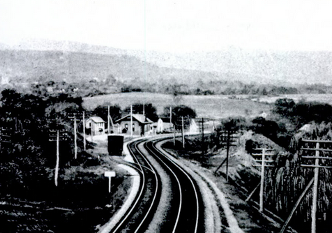
The Jersey City and Albany Railway Company reorganized as the New York, West Shore, and Buffalo Railway on February 18, 1880. The southern section of the line was completed to Haverstraw in 1879 through the temporary long clove switchback. The tunnel was open in 1883, and the newly formed company inaugurated service from Newburgh through to Jersey City, New Jersey.
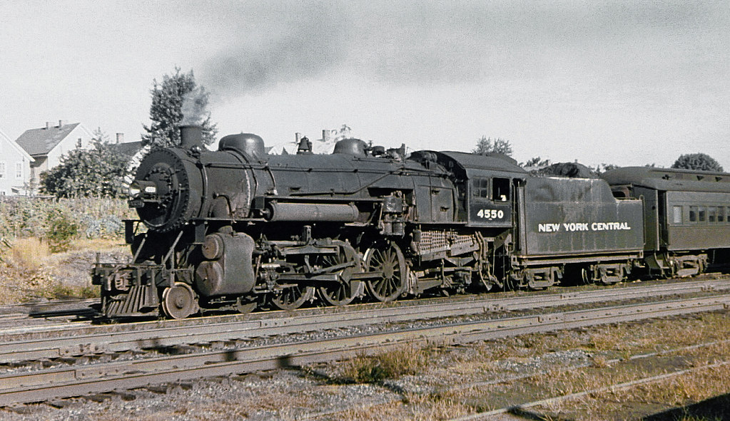
The New York Central bought the New York, West Shore, and Buffalo Railway on November 24, 1885 and reorganized their new acquisition as The West Shore Railroad on December 5, 1885 and leased it back for 475 years from January 1, 1886.
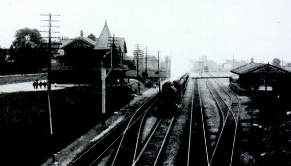
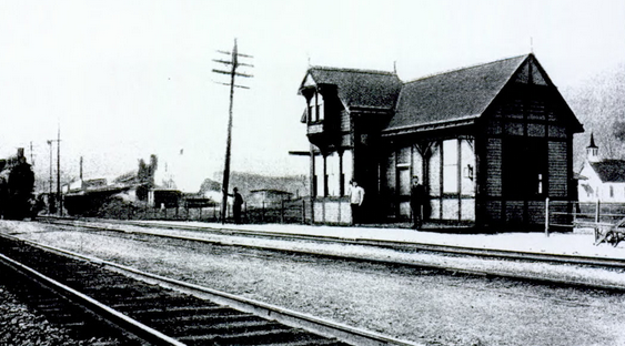
The Haverstraw Station was located at now East Railroad and Samsondale Avenues in West Haverstraw, its location in direct competition to the NJ&NYRR’s Railroad Avenue station. The West Shore also shared track rights with the O&W north to Cornwall and later west to Middletown both originating in Weehawkin, making this a well-known stop on the line.
The first two months of service had trains stopping at the top of Fairmount Avenue for rider convenience but was discontinued quickly. Soon after, residents of the Village of Haverstraw, who without a station were forced to travel a mile and a half north, on a road “apt to be infested with bad characters” had 534 signatures on a petition resulting in this decision.
The South Haverstraw station was at the foot of the Long Clove Road, built as a concession to the landholders for rights through the property. In testimony given to the Board of Railroad Commissioners in 1884, it was reported there was never a ticket sold at South Haverstraw, and in the first month, only one passenger alighted there. Never a true station, a stylized postcard from the era was very popular in it’s day. The platform was closed around 1885.
Below is a restored version of Haverstraw Tunnel from the Internet Archive (1897). Thanks to everyone involved.
The Fairmount Avenue Platforms and later Main Street Depot were completed in 1903 with numerous sidings along the track north to Haverstraw Depot. Around the same time, the Gurnee Ave, Beach Road, and Long Clove Road single lane viaducts were constructed. To this day the railroad still refuses to upgrade this critical infrastructure.
Coal, lumber, brick, and manufactured goods were shipped and received from any number of factories and warehouses in North Rockland along both the West Shore and Erie, while many local families handled local freight deliveries.
Meanwhile, regular passenger service from Haverstraw was terminated in the early 1950’s as automobiles and the Thruway became the prevalent. The Fairmount Avenue platforms are still visible, and what would become Haverstraw Station in 1903 we call Railroad Square.
The Stations in North Rockland
South Haverstraw
Fairmount Avenue/Haverstraw (1903)
Haverstraw
Stony Point
Tompkins Cove
Jones Point
Iona Island
![]()
Eckersons Field
For over sixty years, ending in the condemnation of the property and construction of the Haverstraw Public School in 1936, the Circus field and later Eckersons field was the home to almost every outdoor sport and community activity in Haverstraw.
By the end of the 1870’s, the inland clay pits of Derbyshire, BJ Allison, Eckerson, and Archer were tapped out, some of the pits becoming local garbage dumps. At the same time, the Eckerson Estate was in probate, tenants on their holdings were being evicted, and many of the smaller parcels were going to tax auction.
The largest parcel, that north east of the Erie yard, remained vacant for so long the community just squatted on the land and built their field of dreams. There are several parcels in the Village that were acquired by the community over the years this way, the brickyards long gone and the property in bad condition. Often right of ways or easements were granted just to clean up the mess.
Eckersons was the home field of the Haverstraw High School and in it’s day, was a top notch ball park. It was maintained by a loose organization of local baseball clubs, who along with the Elks Club, the Knights of Columbus, and later the Sons of Italy, were to build and maintain fences, gates, and a grandstand that could seat 500.
The front gate and ticket booth were at the western end of Lincoln Street, the grandstand facing north, towards St. Peters School. Center field was around Horans store and Partition Street was out of the park.
Home to almost every circus, carnival, and fireworks show held in town, the field was booked years in advance with top notch entertainments.
Only a block from the Erie station, the circus train would unload and set up in a matter of hours, with hundreds of spectators getting a free show.

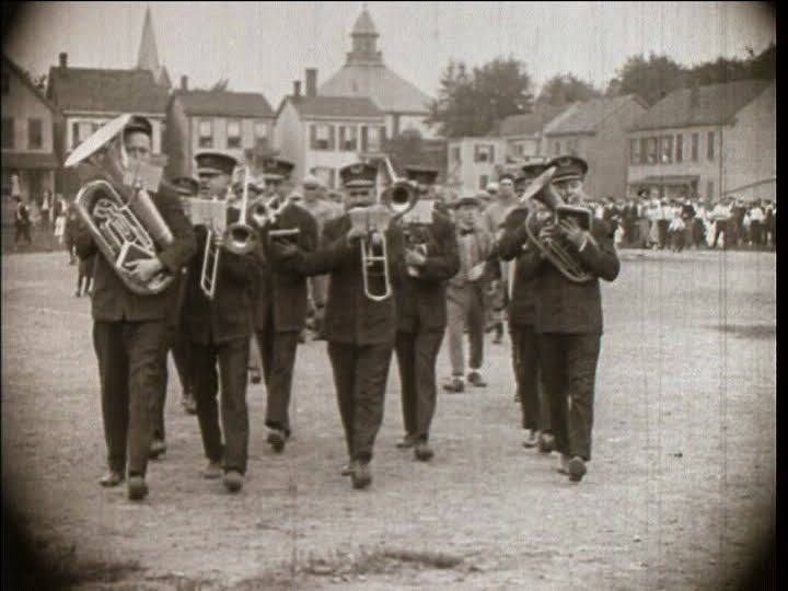
The Fourth of July, Columbus Day, Labor Day, and Washington’s Birthday were booked by the clubs for carnivals, fairs, and parades. Fireworks were a regular attraction all summer long, the railroad bringing thousands of people regularly to the shows.
Jones Point: 100 years ago
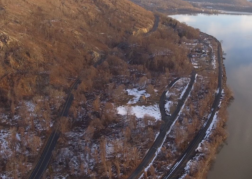
Laying at the foot of Dunderburg Mountain just north of Tomkins Cove was a very popular river landing first settled in 1791 by Joshua Cholwills. Later called Coldwells and then Caldwells Landing, what we call Jones Point was the ‘last place to tie up’ before the Highlands. Later the West Shore and then Route 9W passed through the heart of Jones Point on the way to Bear Mountain and points north.
By late in the 19th century most of Jones Point was developed. Brick yards, sand pits, stone quarry’s, an asphalt plant, and a potash mill were all served by the West Shore RR and the deep water docks of Jones Point. Churches, shops, and saloons vied for space on the riverfront with brick barges, sloops, and fishing boats as generations of families lived and worked here. Often in the newspapers, Jones Point had its share of explosions and derailments.
During World War One, The Jones Point Chemical Weapons Research Laboratory conducted projects on liquid propellants, incendiary compounds, and the chemical weapons phosgene and mustard gas, the story being told by Theo Emery. South of Naval Ammunition Depot Iona Island, this laboratory has been all but forgotten today.
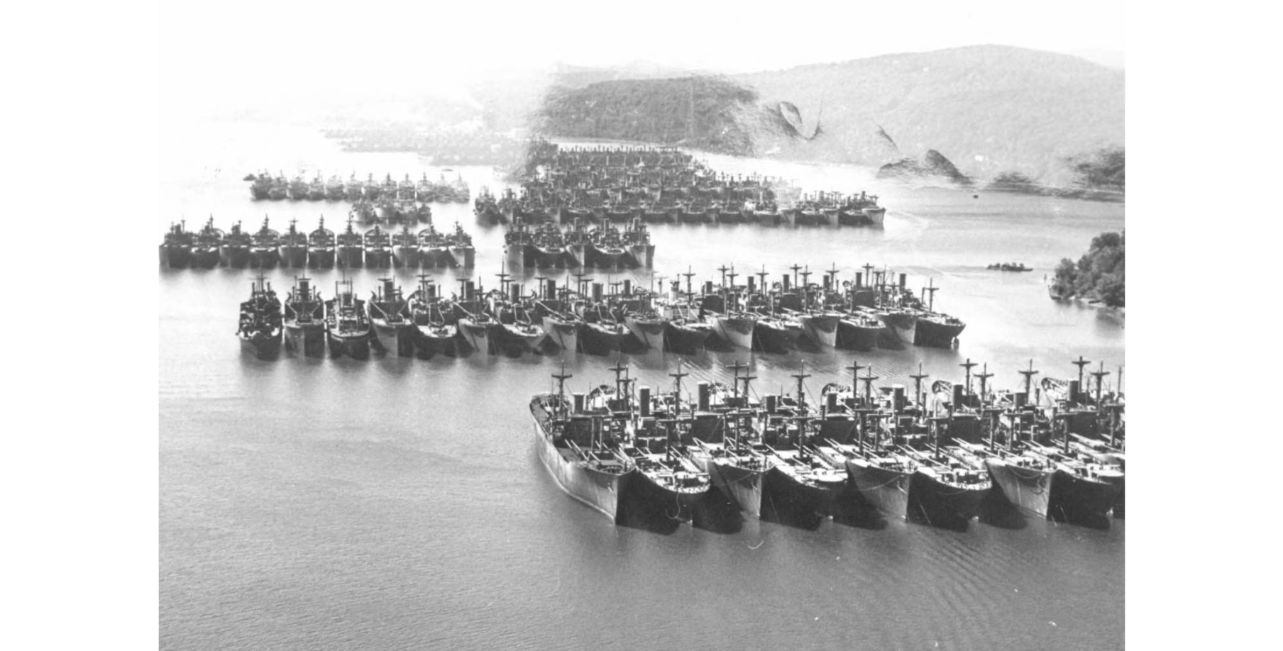
In 1946 the Hudson River Reserve Fleet was moved off Jones Point. Here the anchorage remained until the last two ships were towed away on July 8, 1971, to be sold for scrap to Spain.
…………………..
The Fed’s were sued in federal court by Mrs. Scozzafava, a long time resident and restaurant owner at Jones Point . She claimed the ships were anchored on what she called her “front lawn” because she owned up to 250 feet out into the river. She also claimed the ships obstructed her view of the river itself. Most riverfront properties in North Rockland have large riparian rights that were fiercely defended over the years.
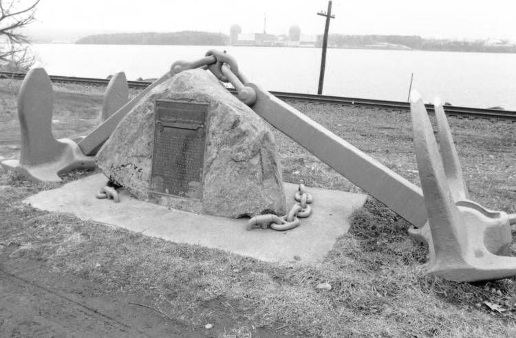
Today, Jones Point is a residential neighborhood. A small memorial for the Reserve Fleet is on the flats 10 feet from the CSX mainline, and there isn’t a single commercial establishment left in the hamlet.
![]()
Lest We Forget: North Rockland’s World War Two War Dead
From an article in the Rockland County Times May 27th, 1948
KILLED IN ACTION-ARMY
Pfc. David Hirsch of GarnervilIe. Presumed dead as the result of action on Bataan, the Philippines. Last heard from in April, 1942
Charles R. Lewis of Stony Point. Killed in action in the Southwest Pacific Jan. 24, 1943. Infantry.
Staff Sgt. Gerard J. Harrigan, 15lh Air Force, of Haverstraw, killed in action in Italy April 28, 1944.
Pfc. James Jones, 4th Infantry Division, of Garnerville, killed in action in France June 15, 1944.
Pfc. Vincent Lawless, 4th Infantry Division, of Haverstraw, killed in action in France June 8, 1944.
Pfc. Joseph Delloro. 9th Infantry Division, of West Haverstraw, killed in action in France June 12, 1944.
Sgt. William P. Kinsman, 4th Infantry Division, of Garnerville, killed in action in France June 21, 1944.
Pfc. William D. Huott, 4th Infantry Division, of Haverstraw, killed in action in France June 24, 1944.
Sgt. Walter L. Herdman, 4th Infantry Division, of West Haverstraw, killed in action in France June 24, 1944.
Lt. Alexander M. Cameron, 35th Infantry Division, of West Haverstraw, killed in action in France July 15, 1944,
Lt. Daniel J. Griffin, 9th Air Force, of Haverstraw, killed in action in Europe July 18, 1944.
Lt. Joseph I. Shankey, 82nd Airborne Division, of West Haverstraw, killed in action in France July 1, 1944.
Pfc. James Francis Brems, infantry, of Haverstraw, killed in action in France August 13, 1944.
Pfc. John W, Kwiecinski, 8th Infantry Division, of West Haverstraw, killed in action in France August 21, 1944.
Pfc. William Skerry, 29th Infantry Division, of Stony Point, killed in action in France August 31, 1944.
Lt. William B. Hoke, infantry, of Tomkins Cove, killed in action in France, September 9, 1944.
Pfc. Anthony J. Bronico, 29th Infantry Division, of Haverstraw, killed in action in Germany October 4. 1944.
Pfc. Joseph P. Vranisky, lOOth Infantry Division, of Haverstraw, killed in action in France December 4, 1944.
Pfc. Charles Heck. 5th Armored Division, of Garnerville, died of wounds received in Germany December 12, 1944.
Pfc. George J. Mead, 70th Infantry Division, of Garnerville, killed in action in France January 4, 1945.
Pfc. Charles S. Malone, 80th Infantry Division, of Garnerville, killed in action in Luxembourg January 21, 1945.
Pfc. Donald W. Hurd, 3rd Infantry Division, of Garnerville, killed in action in France January 25, 1945.
Pfc. Louis C. Jones, 2nd Infantry Division, of Haverstraw, killed in action in Germany February 6, 1945,
Pfc. John Barnes, Ninth U. S. Army, of Garnerville, killed in action in Germany February 7, 1945.
Lt. John J. Ducey, 11th Armored Division, killed in action in Luxembourg February 16, 1945.
Pfc. Joseph F. Mackey, 1st Infantry Division, of Garnerville, killed ill action in Germany March 27. 1945.
Pfc. George E. Rose, Infantry, of Willow Grove, killed in action in Germany May 2, 1945.
KILLED IN ACTION—NAVY
Anthony William Ferracane, yeoman, second class, of Broadway. Lost at sea aboard the U. S. S. Simms, May 7,1942, during the Battle of the Coral Sea.
William Michael Coyne, seaman, second class, of Haverstraw. Lost at sea aboard the U. S. S. Juneau, Nov. 13, 1942, during the Battle of Guadalcanal.
Harry Everett Robbins, pharmacist’s mate, third class U. S. M. C., of Coolidge avenue. Killed in action on Saipan, June 14, 1944.
Clarence 1. Miller, chief water tender of Stony Point. Killed in action in the Battle of the Philippine Sea, Oct. 16, 1944.
MISSING IN ACTION—NAVY
Clifford Slater, chief motor machinist’s mate, Tomkins Cove.
DIED IN ACTION—MARINES
Sgt. John J. Easton of Roselle, N. J., formerly of Stony Point, killed in action on Guam in July 1944.
LOST AT SEA -MERCHANT MARINE
William Gordon Jr, Garnerville. Lost at sea aboard the SS Halo on May 20, 1942, torpedoed by U-506 in the Gulf of Mexico.
DIED IN SERVICE—ARMY
John Henry Clark of Stony Point. Died at Cochran Field, Macon, Ga., Jume 5, 1942. Attached to military police.
Pvt. Charles W. Wenzel of Tomkins Cove. Died of spinal meningitis at Fort McClellan, Ala., Feb. 21, 1943. Infantry.
Lt. Sol. Simenovsky of Broadway. Died of leukemia at Post Hospital, Fort Slocum, N. Y., Feb. 24, 1943.
Pvt. Ralph P. Picariello of Edgar street. Died April 30, 1943, at Buckley Field, Denver, Col., as the result of injuries received in an automobile accident.
Pfc. Raymond Baumeister of Stony Point, who died in a hospital at Atlantic City, September 20, 1943.
Pfc. Donald Joseph Ryder of Clove avenue. Died at Rhoads General Hospital, Utica, N. Y., Jan. 10, 1945. Flown home from 1st Army front, where he served with 28th General Hospital.
Pfc. Andrew Gdula of Union street. Died of natural causes in the station hospital at Romulus Army Air Field, Romulus, Mich., August 20. 1945. prior to discharge after 18 months overseas with 8th Air Force.
DIED IN SERVICE—NAVY
Walter Herbert Allison, motor machinist first class, of Stony Point, who died of infantile paralysis at a South American Naval Base hospital in June 1944.
Robert Dowd, of Partition Street, pharmacists’ mate, first class, who died in the Oakland, Ca. Naval Hospital. September 25, 1945.
CIVILIAN—DIED IN MILITARY PURSUIT
Frank Ludvig of Division street. Died Feb. 3, 1943, when a ship of civilian workers bound for Greenland was torpedoed in the Atlantic.
New Jersey and New York Railroad in North Rockland
New Jersey and New York Railroad
Passenger service on this suburban line ran from Pavonia Station, Jersey City to Haverstraw Village with the line being completed in 1888. The freight division served the Mt. Ivy quarry and the Garnerville Print Works with direct service. This line has operated continuously for over 160 years and is now known as the Pascack Valley Line terminating in Spring Valley.
In 1870, the NJ&NY was completed through to the Town of Haverstraw, with all the stations completed north to West Haverstraw by 1873. The Haverstraw depot and yards were completed in 1888 with stations and yards at West Broad Street. Until the opening of the Jersey City and Albany Railroad in 1879, this was the only railroad in North Rockland.

Mount Ivy Depot was located west of the Palisades Parkway just south of now Route 202. The heavy traffic in crushed stone from the traprock quarry made Mt. Ivy one of the busiest stations on the line. The line continued north past Gurnee Lake and was an active freight line well into the 1950’s.
The spur line into Letchworth Village was built in 1911 terminating at the power station. This freight only spur took coal, foodstuffs, and general freight while all passenger service to the institution was from Thiells Station.
Thiells Station was located at the corner of now Rosman Road and Langschur Court. The right of way under Rosman Road is visible today and the overpass continued over the creek to now Thiells-Mt. Ivy Road. This was the highest point on the line at 285 feet above sea level. Doodlebug passenger service continued into Thiells for many years after both Haverstraw and West Haverstraw were closed to passenger service.
Today, the line still visibly follows the Minisceongo Creek east crossing both the creek and now Suffern Lane continuing to the junction with the Stony Point Branch at Central Highway in Garnerville. The junction was in the area north of Railroad Avenue with the branch line following now Central Highway. The Stony Point branch was never completed and ended in a field at now Rt 210.
Garnerville had extensive sidings serving the Print Works. Just up the hill from West Haverstraw station, Railroad Avenue was a busy commercial area that supported many more full time workers than the brickyards ever did.
The Line continued east from Central Highway behind the Garnerville Elementary School through the fields crossing Chapel Street between the Church and the rear exit to Helen Hayes hospital north of West Railroad Avenue.
West Haverstraw Depot was at the Corner of now 9W and Railroad Avenue. Until 1888, West Haverstraw Station was the terminus of the railroad with regular stage coach service to Haverstraw.
Completed in 1888, the line continued diagonally southeast from West Haverstraw and crossed under old Route 9W behind Dunkin Donuts today and then followed the Minisceongo Creek east under the West Shore Line. A grade crossing was on Samsondale avenue at the old Esso station, with spur lines into the Peck yard, up the beach and to the dock.
After crossing under Broadway at Brennan’s Bridge Haverstraw Station and Yards terminated at West Broad Street.
The New High School: Letchworth Fields
LEGAL NOTICE MARCH 9, 1963
NOTICE OF SPECIAL DISTRICT MEETING CENTRAL SCHOOL, DISTRICT NO. 1 OF THE TOWNS OF HAVERSTRAW AND STONY POINT IN ROCKLAND COUNTY, NY AND TUXEDO, WOODBURY, AND HIGHLANDS IN ORANGE COUNTY, NEW YORK.
For the purpose of voting upon the following :
PROPOSITION RESOLVED: That the Board of Education of Central School District No. 1 of the Towns of Haverstraw and Stony Point, Rockland County, and Tuxedo, Woodbury, and Highlands, Orange County, New York, is hereby authorized to:
Acquire by purchase, the certain piece or parcel of land on the east side of Hammond Road formerly a part of Letchworth Village “Farm in the Town of Haverstraw”, in said School District, designated as the site of a senior high school building and for other school purposes pursuant to the resolution adopted by said Board of Education on January 24, 1963 and more particularly described therein by metes and bounds, the estimated maximum cost of said specific object or purpose, including preliminary costs of surveys, maps, plans and estimates, and costs incidental to such acquisition and the financing thereof, being $65,000;
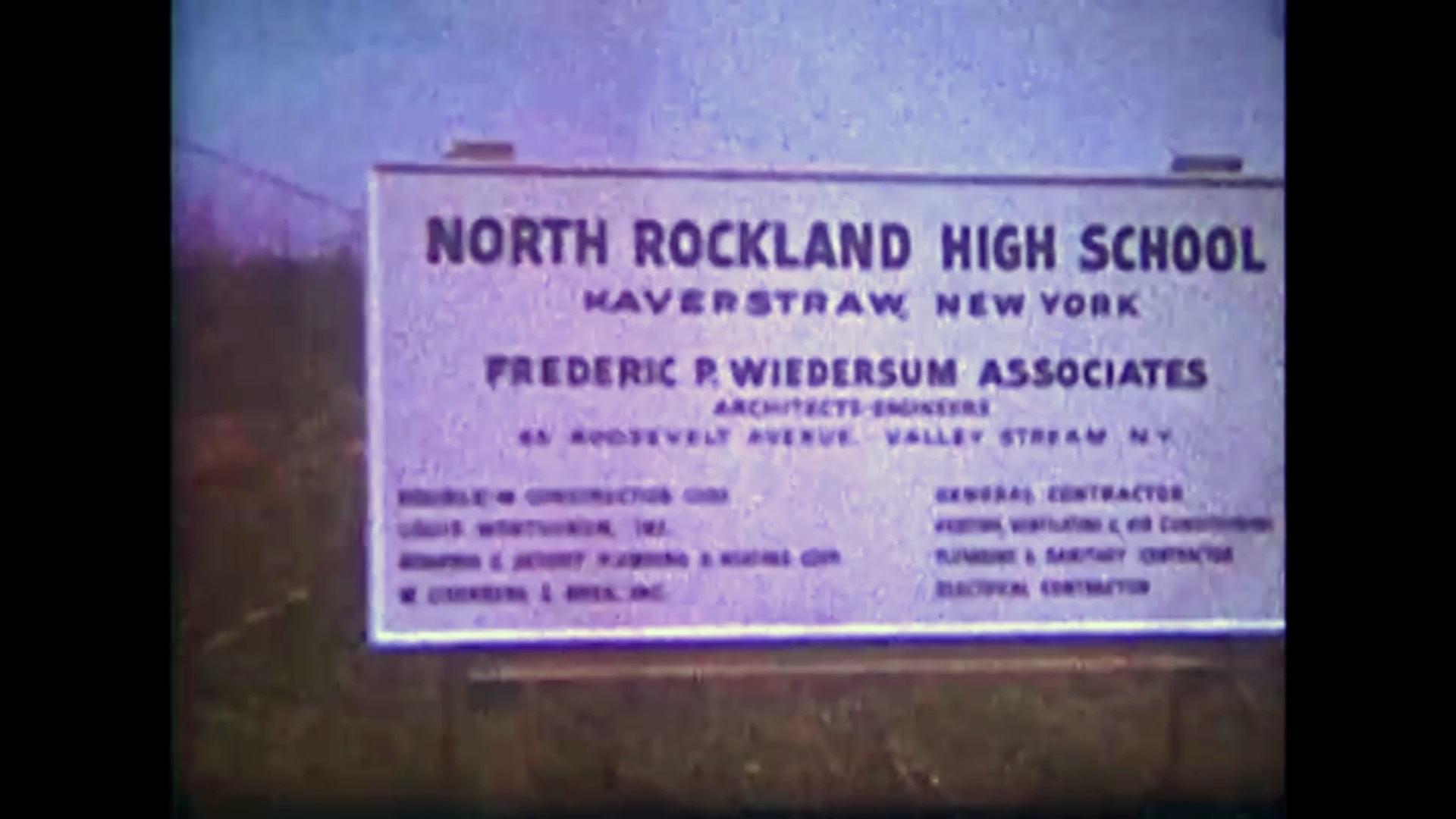
Establish a Reserve Fund of said School District to be known as the “Land Acquisition Reserve Fund,” the purpose of said Fund being to provide money for the acquisition by purchase of the certain piece of land referred to in subdivision 1 hereof as the site of a senior high school building and for other school purposes; the ultimate amount of said Reserve Fund being $65,000; the probable term of said Reserve Fund being one year; and the source from which the moneys for said Reserve Fund are to be obtained is $65,000 surplus moneys of said School District now available therefor and hereby authorized to be paid into said Reserve Fund.
Expend from the “Land Acquisition Reserve Fund” herein above authorized to be established, the amount of $65,000 for such acquisition of said land as the site of a senior high school building and for other school purposes;
Construct a senior high school building on the site herein above authorized to be acquired pursuant to subdivision 1. hereof: To grade and improve the site of said building and to purchase the final furnishings, equipment, machinery, and apparatus required for the purpose for which said building is to be used, the estimated maximum cost of said specific object or purpose, including preliminary costs and costs incidental thereto and the financing thereof being $3,400,000.
Redstone Dock
What was known as Snedekers and later Waldberg Landing was a principal shipping point on the Hudson River since colonial times.
North of the dock, the local brownstone quarry they called Redstone operated just below the Long Clove Road tunnel.
Along the river south of the dock, the Trap Rock business kept the dock busy.
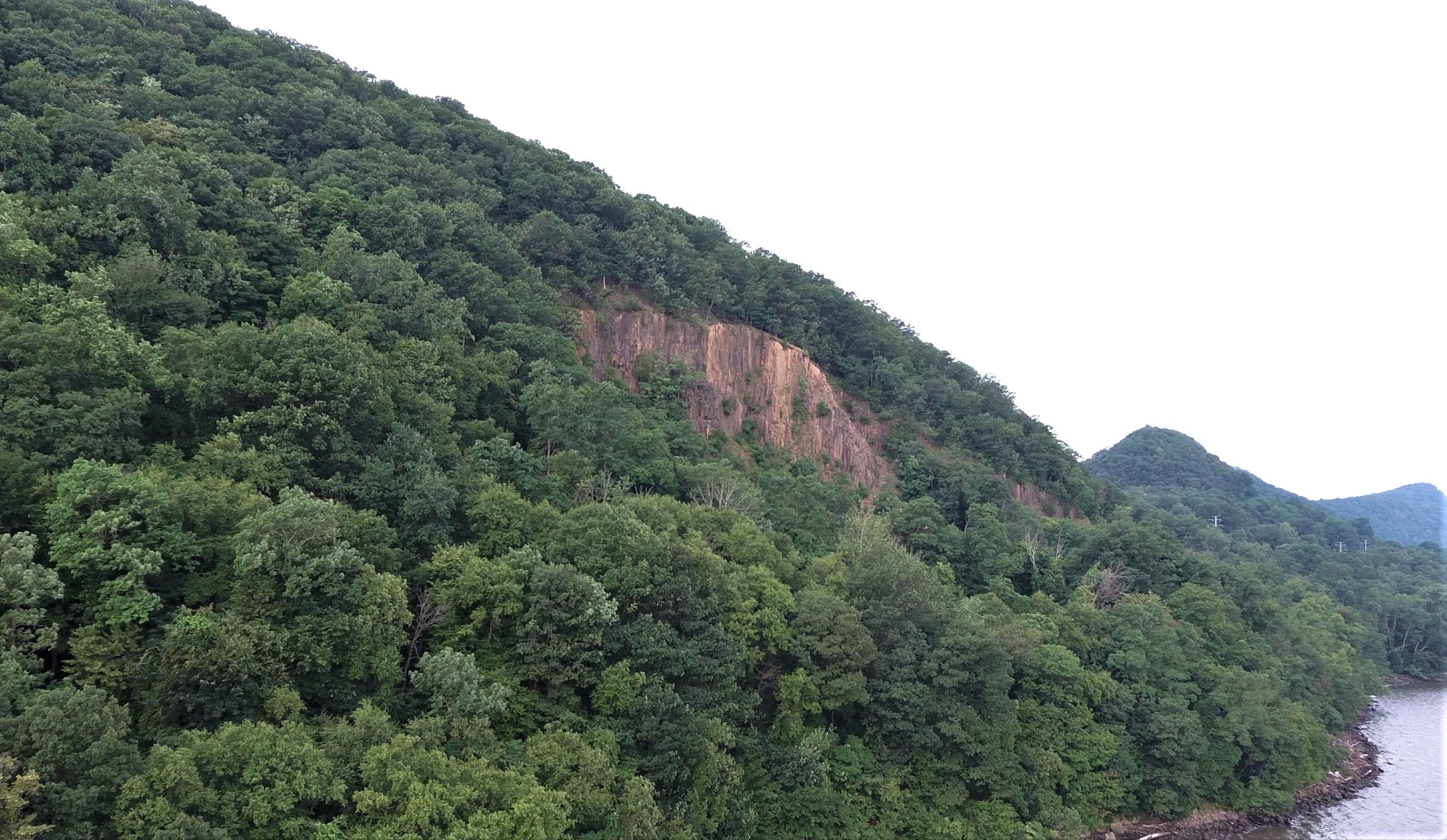
Still a barge loading point well into the 20th century it was eventually donated to the Palisades Interstate Parks System.
Long ignored by the PIP, the dock and beach eventually got attention and by the late 1930’s, became a popular camping and swimming destination they called Redstone Dock.
![]()
Emeline Park at Sunrise
![]()
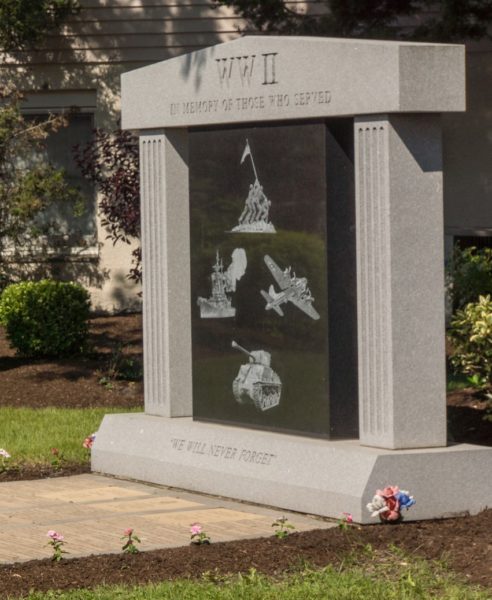
The Roll of Honor
In early 1943, a group of Citizens erected a Roll of Honor listing all then serving in World War Two. This Roll of Honor was located adjacent to the main entrance of the Haverstraw High School. The Haverstraw Fire Department organized a fund raiser in early 1942 in support of a community effort to erect the Roll. Jack DeNoyelles donated over 9000 brick, the Knights doing most of the masonry work. For many years, Lib Mulligan painted the names of those serving and the school district maintained the Roll of Honor.

Weeping willow trees were planted each year on Arbor Day in memory of those who passed. Those willow trees, in line behind it, were along the tracks of the Erie right of way.

In time, the Roll of Honor began to show signs of wear and tear and was dismantled in the 1970’s. Later, the citizens of the Haverstraw Community erected a Memorial and then Plaque in the Clock Park at the corner of New Main Street and Maple Avenue.
Abandoned Clay Pits of Haverstraw
A defining mark on the landscape of Haverstraw are the abandoned clay pits of brick makers Derbyshire, Eckerson, Archer, Allison, Fredrick, and Gilles. What later was Markham Field and the terminus of the NJ&NY Railroad, the inland excavations were the lifeblood of Haverstraw brick making for the first 50 years.
In 1810, the first known brickyard in North Rockland was operating inland along the Minisceongo Creek in the area of Samsondale and Tanneyanns Lane. James Wood was producing brick by hand south of the Village in early 1815 with the DeNoyelles Brothers on Riverside Avenue near Tilcon today, being the first to burn coal forever changing the Industry.
By the early 1850’s, with the invention of the VerValen machine the inland pits of Derbyshire and Eckerson were in full swing. Evidence of an early cut is behind the CP Church off West Broad Street today. What is the driveway west of #60 is the right of way to this original clay pit. A massive open excavation stretched from now West Broad Street to Archer Street that became 15 acres of highly valuable real estate in the center of the Village.
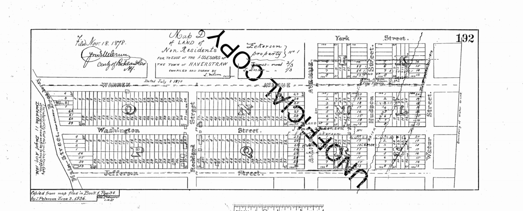
As you can see on the map, each of these inland pits had access to the river, either through direct ownership of land or public road access. The Derbyshire yard became Excelsior and going north; Fredericks and Gillies, Eckerson, Archer, and BJ Allison all had exclusive riverfront holdings that lasted for generations.
Public use of private property was a continual issue for the village with lawsuits from landowners almost non stop for 100 years . Partition Street was at grade with Jefferson Street, serving Excelsior and Gilles and Fredericks to the south. Warren Avenue was owned by the Eckersons. Extending to the edge of the inland bank, it was valuable piece if real estate at the time.
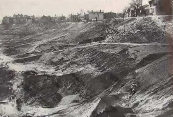
After many contentious lawsuits, the Eckerson map above with Warren Avenue at its center was found to be informational only, certain streets never being dedicated. Eckerson vs Village of Haverstraw in 1896 finds for the Village, only for the landslide to take large parts of Rockland Street 10 years later.
Allison, Orchard, and Edgar Streets today are examples roads to nowhere, ending at the edge of the bank, every year the street got shorter as the valuable clay was excavated. In 1887 the railroad made a cut on upper Broadway and the Haverstraw depot and yards of the NJ&NYRR were built on the floor of the excavation.
The Jersey City and Albany Railroad
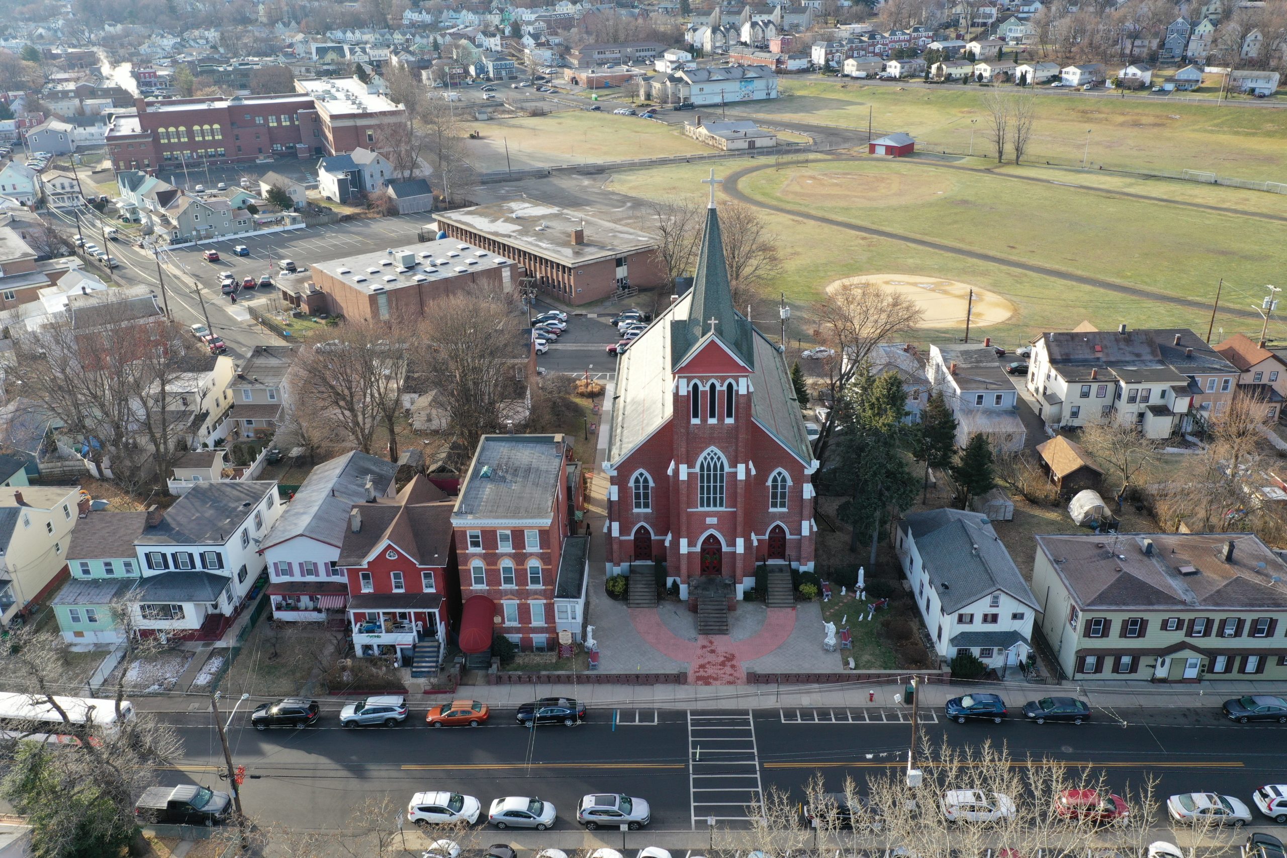
The effort to bring a railroad north on the west shore of the Hudson River was finally realized when the portion of the Jersey City and Albany from Tappan to Haverstraw was opened in 1879. The extension north to Haverstraw is the same route as CSX takes today but was diverted through the Long Clove while the permanent Haverstraw Tunnel (1883) was being constructed. The end of track was at the West Street Depot where the Haverstraw Transit garage is located.
The definitive story can be found at the link below.
RAILROAD WARFARE AT HAVERSTRAW
South of the Mountains 1976-10, Vol. 20, No. 4
http://www.hrvh.org/cdm/compoundobject/collection/hsrc/id/1784/show/1763/rec/26
![]()
Stony Point Light
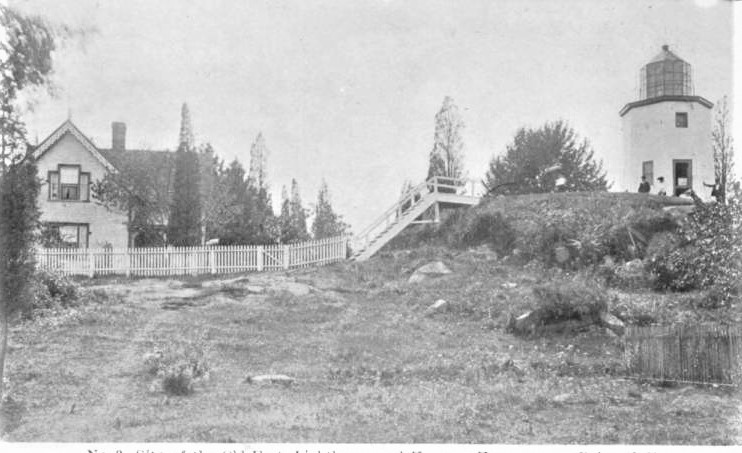
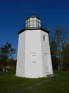
The Stony Point Light is the oldest lighthouse on the Hudson River. It is located at the Stony Point Battlefield in Stony Point, New York.
The Light House and Keepers House early 1900’s
![]()
Landslide: Heffern vs. Haverstraw
On January 8, 1906, Edward Heffern while standing in Rockland Street in the Village of Haverstraw was killed. In close proximity to the street were deep excavations into which the earth between these excavations and the line of the street, and also that forming part of the roadbed of the street itself, fell, drawing him down to his death.
Below is a transcript from the Court Case stemming from Mr. Heffern’s death. Very little first hand stories have been written about the tragedy in Haverstraw that day, and this describes what transpired.
At the time, the brick industry dominated the Village and many of the residents worked for the yards. In fact Mr. Heffern ran towards the slide after leaving the saloon, a classic case of contributory negligence.
TAP BELOW
![]()
The Long Clove – Haverstraw State Highway
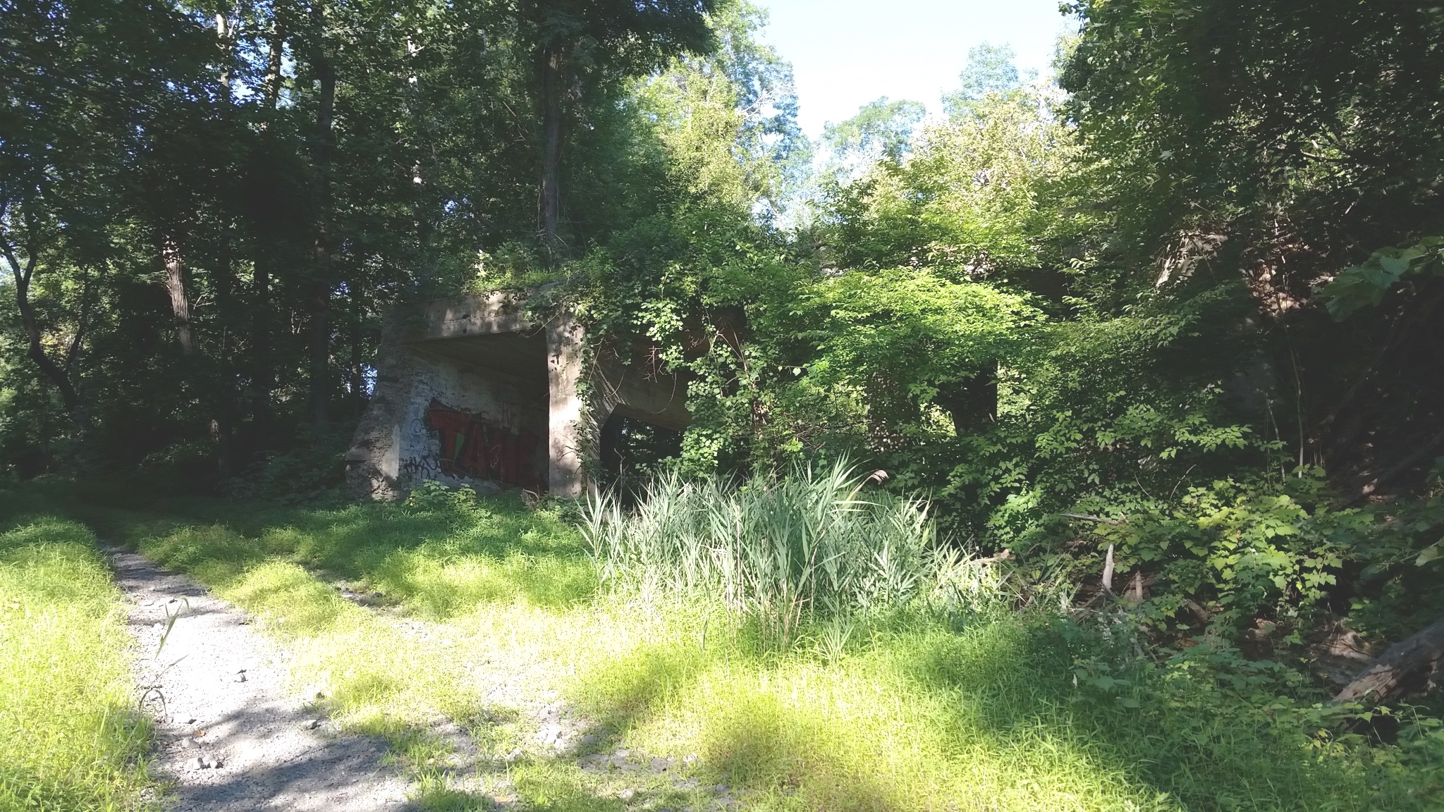
Below is an article about the construction of Long Clove to Haverstraw section of State Route 3, now Route 9W in Haverstraw. The partially abandoned remains of this highway, as well as the Jersey City and Albany Railroad switchback right of way are visible in the Long Clove today.
Tap for Google Books
![]()
Andre’s Landing Place at Haverstraw
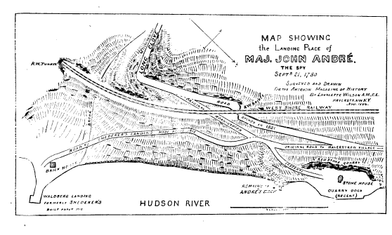
Major John Andre landed in a shore boat from HMS Vulture on September 21, 1780 at the foot of The Long Clove to meet General Benedict Arnold to receive documents sensitive to the defense of the colonial Fort at West Point, intending to return to the ship that night.

Soon after he set out, guns on the east shore of Haverstraw Bay took The Vulture under fire, and she retired south, stranding Andre on the West Shore along with Arnold and several others. With this engagement, the fate of both Arnold and Andre were sealed as they now conspired with Joshua Hett Smith to harbor the Spy Andre in the White House and to provide safe passage through colonial lines.

The landing spot, long held in a local sort of ill repute, was very little known 100 years after the revolution. Below is an article written by Lavallette Wilson of the Mountain Institute in the Magazine of American History, January-June 1885 that describes in great detail the location and has what is a one of a kind map of the Long Clove.
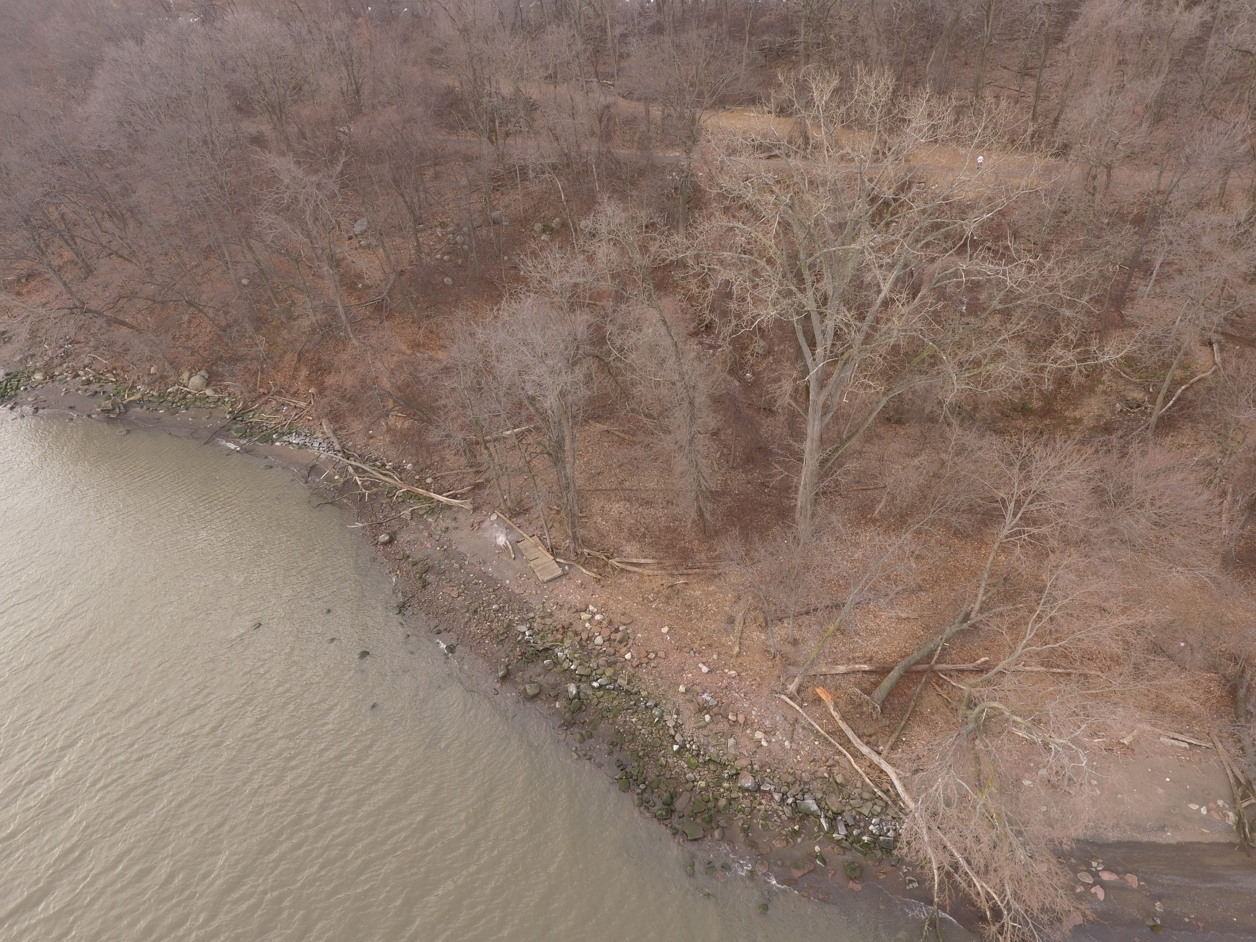
It seems Mr. Wilson was able to clear the air as to the location, movements, and landmarks of Arnold and Andre that night. Today there is a boulder that has been inscribed with the details at the waters edge.
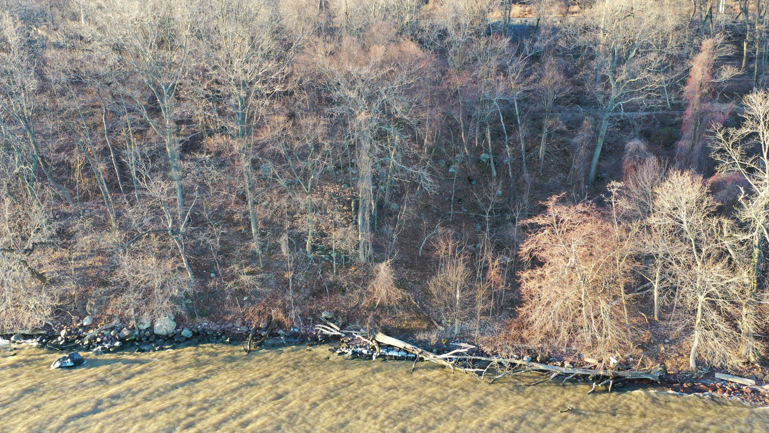
Just below the Long Clove Road tunnel, access is from the old quarry/campground path to the north, or from the stream on the south.
Tap to read the magazine below
![]()
1898 Sanborn Maps: Haverstraw
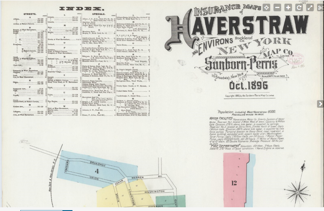
Many thanks to the Library of Congress on getting 1898 Sanborn Map source online. Sanborn Maps were the source for Insurance, Banking, and Real Estate transactions for many years. The maps are not complete in the classic sense, but show the major commercials and the exposures on the property.
Sanborn Fire Insurance Map from Haverstraw, Rockland County, New York. Sanborn Map Company, Oct, 1896.
Map retrieved from the Library of Congress.
![]()
HMS Phoenix and HMS Rose in Haverstraw Bay
Sketch by Sir James Wallace
A long forgotten story from the opening days of the Revolution was the action of the HMS Phoenix and HMS Rose on the Hudson River in July 1776.
The Phoenix with 44 guns and the Rose with 20 along with several tenders moved north to Tarrytown on July 12th. This was a classic naval power projection very early in the Revolution. Captain Hyde Parker Jr. of the Phoenix ran the North River fortifications with little or no damage testing the rivers defenses, ending his run in Tarrytown and eventually sailing into Haverstraw Bay.
Colonel A. Hawkes Hay commanded a force that consisted of 400 men and were deployed from the Long Clove to Dunderburg Mountain to counter the potential for shore raids. Captain Wallace, commanding the HMS Rose, went ashore at Tompkins Cove, robbed a couple of hogs off Halstead’s Farm and burned some outbuildings causing a great alarm. This led to General Clinton sending 80 additional troops from Fort Montgomery to give Hay support, leaving the Highlands wide open to invasion. At this time, they had no idea what the British plans for invasion were to be.
Colonel Hay’s report to General Washington on July 25th.
General Clinton’s Report to General Washington on July 23rd.
Continental galleys were to be hastily deployed along with fire ships that were to sail into Haverstraw Bay in early summer in the event the British invaded up the Hudson Valley. Lt. Col. Benjamin Tupper, in command of a force of gunboats and fire ships, sailed into the bay and commenced operations. On August 16th, with six galleys and fire ships, they burned a tender and caused minor damage to the British fleet.
By the 18th, the Phoenix and Rose sailed back to Staten Island to participate in the Battle of Long Island, their action being considered a great success. The invasion and subsequent holding of the Port of New York was considered a great British victory, the battle being the largest ever held on the North American Continent.
![]()


